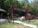
| One morning, I borrowed a bicycle and
followed the road behind the hotels to the end of the peninsula. Along the way, a small
site announced a cave. I came back later, paid my five pesos and let the guide take me
through the system of tunnels and chambers: |
| Cueva Ambrosio is located on the peninsula of Varadero, which is about two
hour's drive east of Havana. |
 |
One has to drive past most of the hotels of the strip, just where the
large nature reserve starts. |
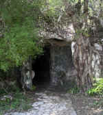 |
Most people will miss its insignificant entrance as one passes by taxi,
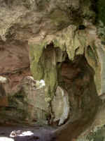
bus or car. But for a fellow on a bicycle, it's hard to overlook. Much of the underground
corridors look like this on the right, with spacious grottos and well-shaped
stalactites... |
 |
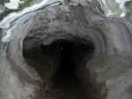
| ...but the entrance way is a passage that was once quite squat and was
broken open so one can walk at full height. |
 |
|
|
|
|
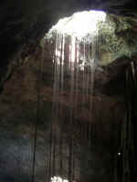 |
There are natural openings in the ceiling where light and trees penetrate.
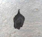
Bats hang off the ceiling and take flight if one comes too close. |
 |
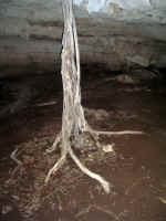
| Some trees actually grow on the cave floor and protrude above ground. |
 |
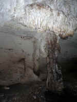
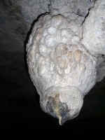
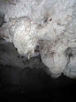
But like in most caves, dripping water created grotesque shapes of cones
and pillars. |
 |
 |
 |
|

But here is an other aspect to the cave. |
|
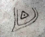
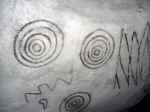
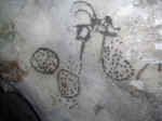
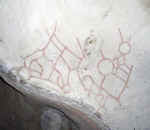
| Twentytwo hundred years ago, people visited here and painted pictographs
on the walls. |
 |
 |
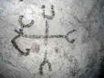 |
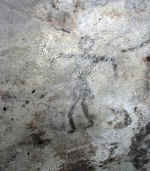
Some of the schema are readily understood, like the image on the right
which lines up with the four directions on earth. The direction to the left lines up with
south. The image on the right is thought to be a Conquistador, with his
armour plated chest, the bulging pants ending at the knees and the swaggering gait of the
victor. |
 |
|
|
|
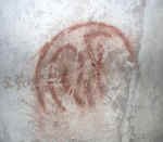 |
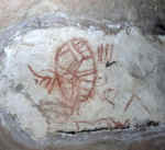
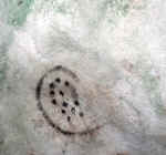
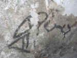
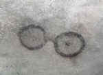
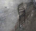
Others are obscure, and the explanations I was given seem unsatisfactory
to me. |
 |
 |
 |
 |
 |
 |
 |
| In Ontario, the Natives created similar images. We now understand that
these were the key points of visions and spiritual experiences. Rock walls were chosen
because supernatural beings lived in the rocks and passed in such places to communicate
with the human seeker. I have little reason to believe
that the images above are maps of the cave (the total length of the tunnels is about 300m,
with little complexity)..... |
.....or that they are just doodles, drawn to pass the time. And no
self-respecting Native would go to the cave to live there - it's much nicer outside, and
these folks were at home under the sky. Those folks came here for a special purpose. I
believe that these caves were mostly used during spiritual experiences, and the images
mark something in relationship to these experiences.
|
In Ontario, one such place is called by the Natives the "Teaching
Stones". 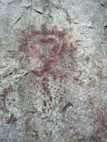 A picture - like this above - would allow
a narrator to share his experience and focus his story. Here in this Cuban cave, I can see
that the symbols on these rocks have similar meanings. |
| PS: a little search via
Google revealed the significance of the site. One sad story emerged: ..... |
.....some years back, a
researcher was sent to "clean up" the pictographs by removing drawings
presumably done by escaped slaves during past centuries, and by restaining the existing
old ones. |
...The guide had
mentioned that the current images are fading and there is fear they will be lost. |
![]()